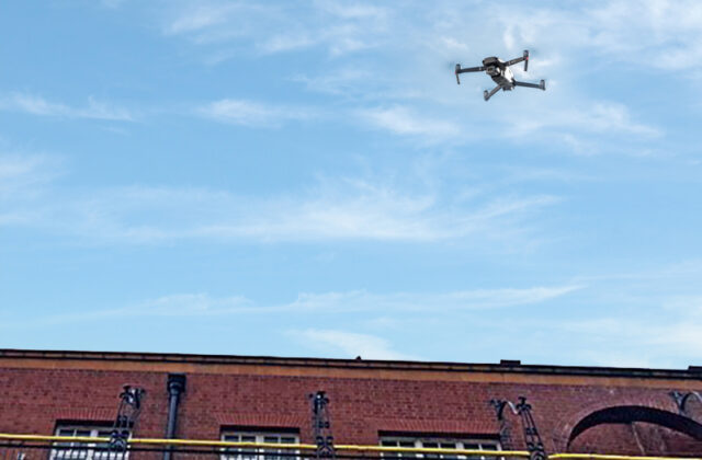
The use of drones and related technology is becoming commonplace among the surveying and mapping professionals. Also known as unmanned aerial vehicle (UAV) surveying, it is a technique used to collect aerial data and create high resolution maps, 3D models and digital elevation models.


